Gallery & Memory Lane
Capturing moments of innovation, collaboration, and excellence in GIS & Remote Sensing
Event Gallery
Highlights from our recent events and collaborations

Memory Lane
Milestones and memorable moments throughout our journey
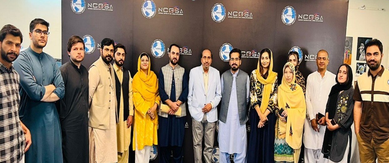
Annual Team Retreat
Annual Team Retreat
New HQ Unveiling
New HQ Unveiling
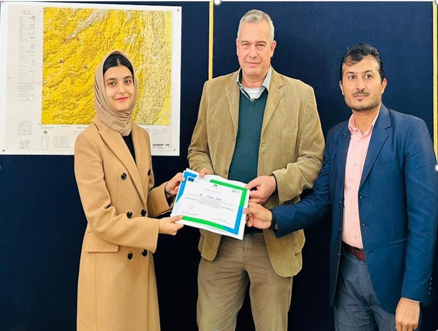
Collaboration Spotlights
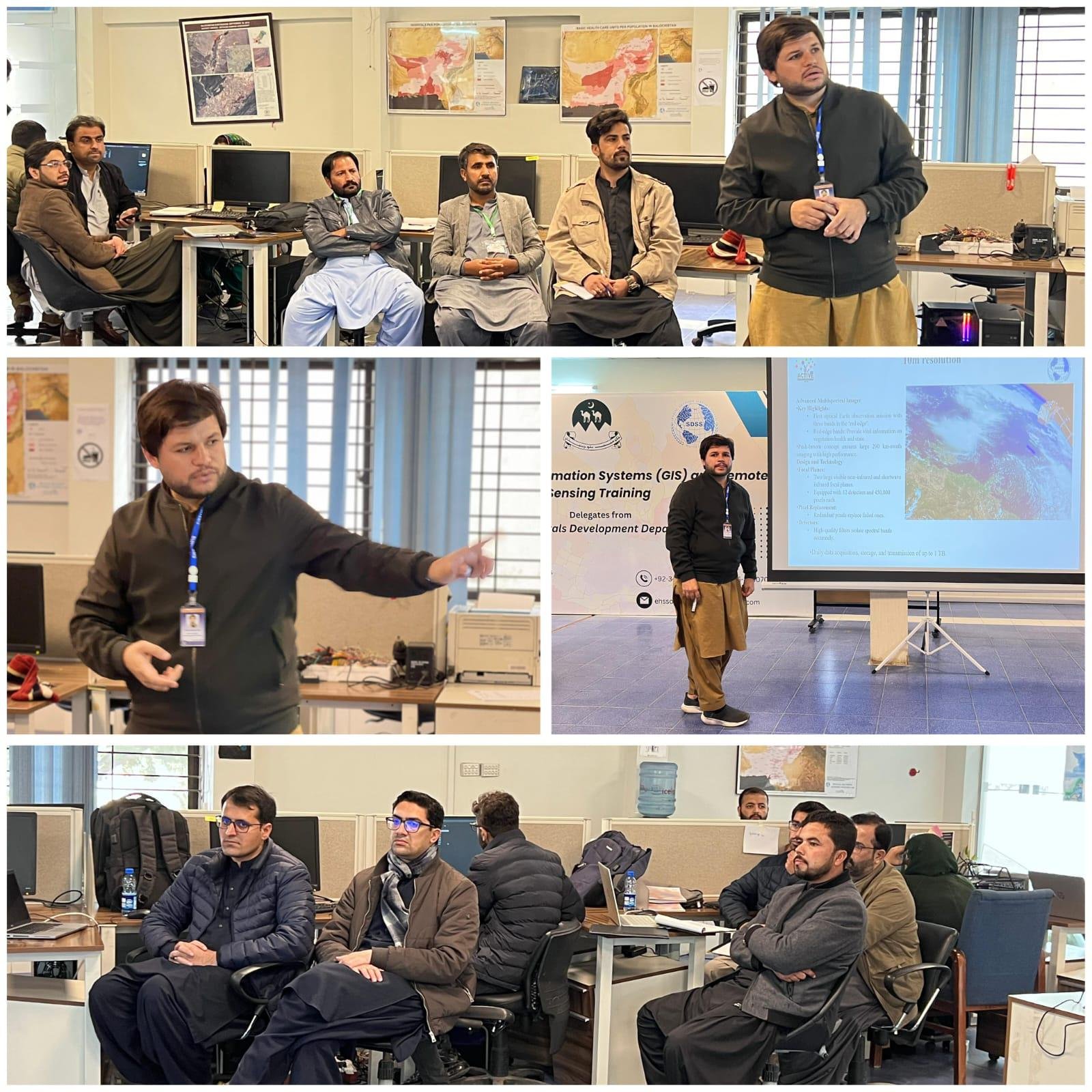
Highlights from recent GIS & Remote Sensing programmes, featuring field training, knowledge exchanges, and partner workshops held across Balochistan.
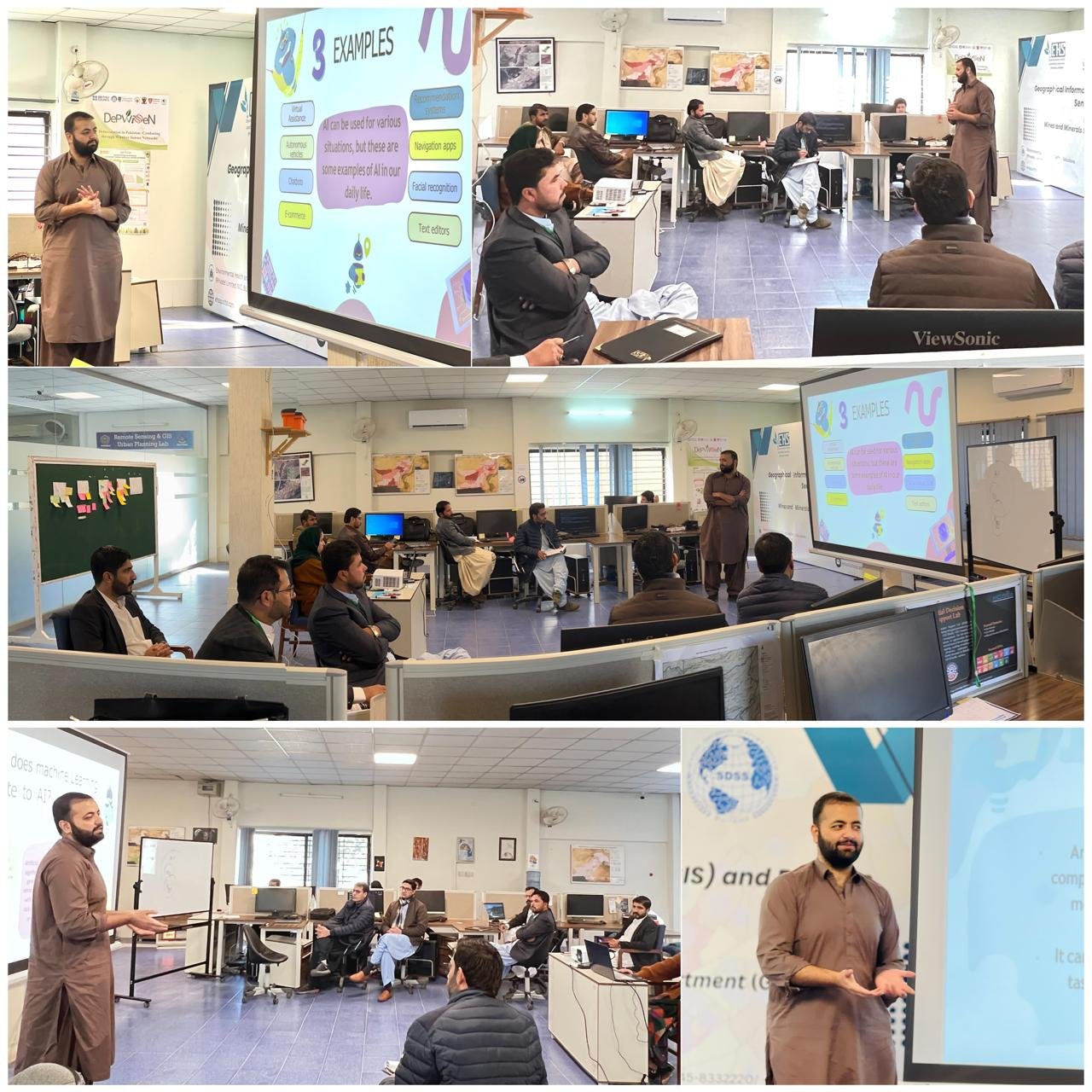
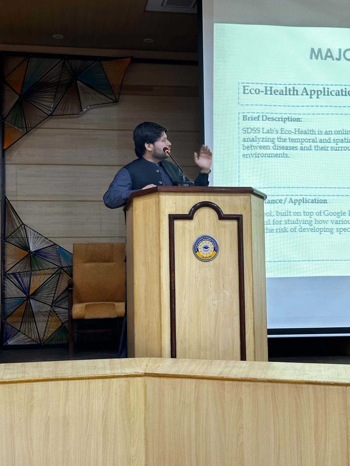
Foundational GIS Lecture
Delegates explore spatial data models, coordinate systems, and best practices for building reliable basemaps.
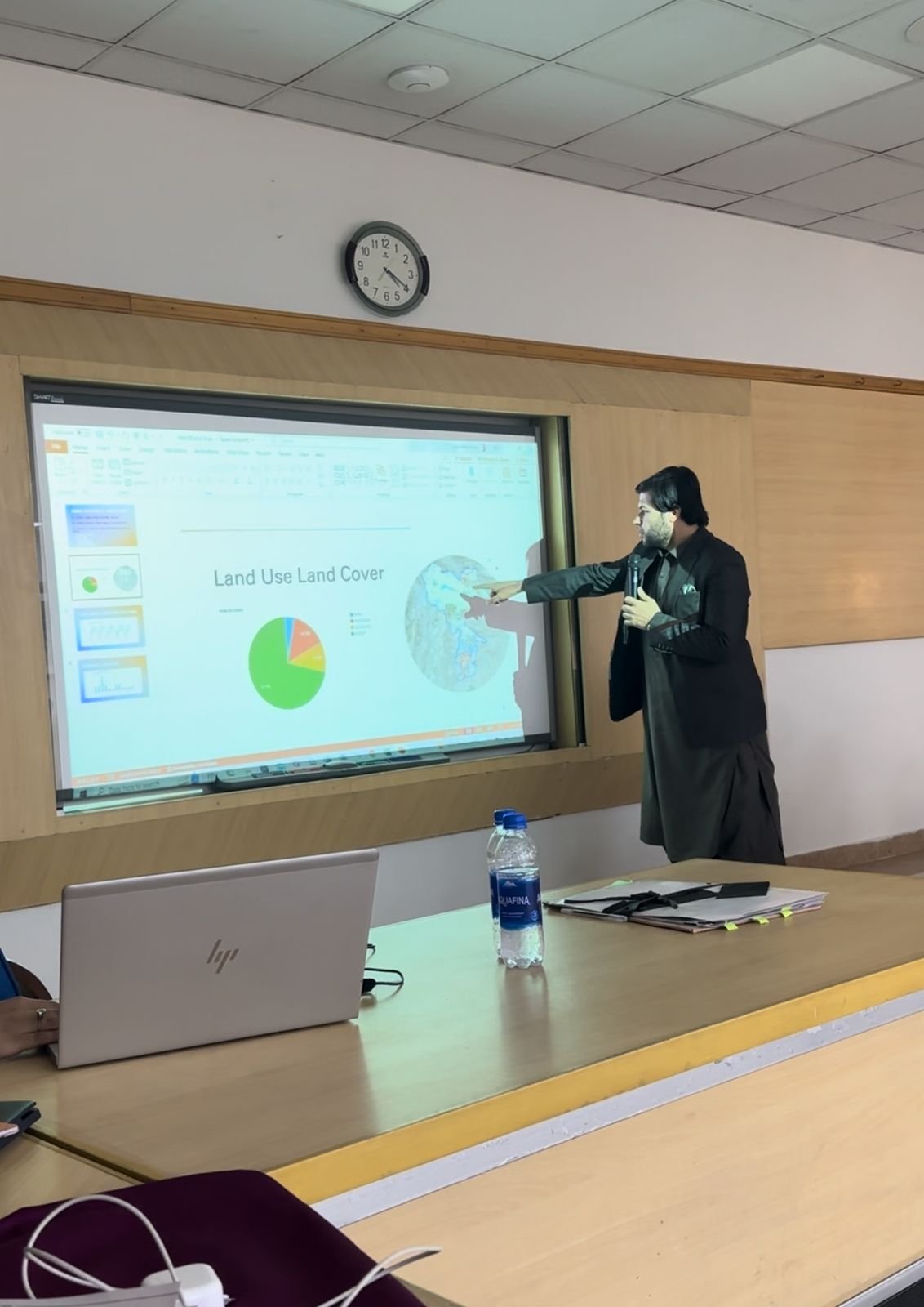
Applied Use-Case Analysis
Teams benchmark GIS applications for emergency response, smart infrastructure, and public service delivery.
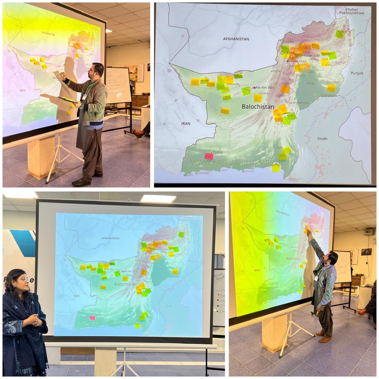
Spatial Planning Lab
Participants overlay demographic indicators to prioritise development zones across Balochistan.
Stakeholder Mapping Dialogue
Multi-sector teams identify infrastructure gaps using thematic layers, mobility data, and land suitability scores.
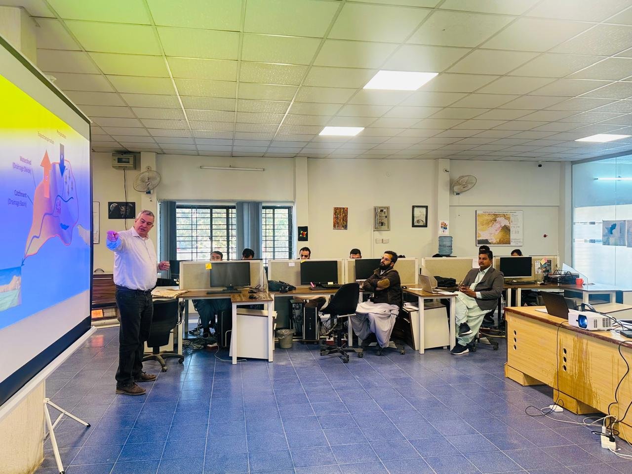
Hydrological Modelling Briefing
An international expert demonstrates remote sensing workflows for watershed analysis and flood forecasting.
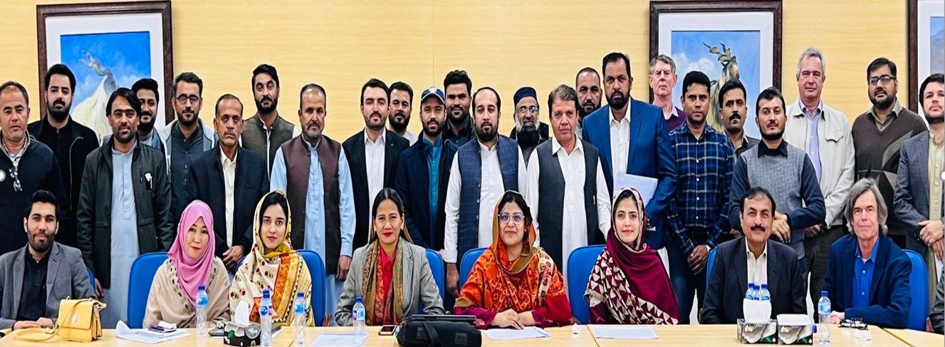
Executive Strategy Session
Leadership reviews dashboards that translate spatial intelligence into policy-ready insights.
Field Data Integration Clinic
Practitioners configure mobile data collection tools and synchronise field observations with the GIS hub.
GIS Gallery Showcase 1
Showcasing advanced GIS applications and spatial analysis capabilities.
GIS Gallery Showcase 2
Demonstrating cutting-edge remote sensing technologies and geographic data visualization.
GIS Gallery Showcase 3
Highlighting innovative mapping solutions and spatial intelligence platforms.